Bienvenido y welcome to Rancho Garza
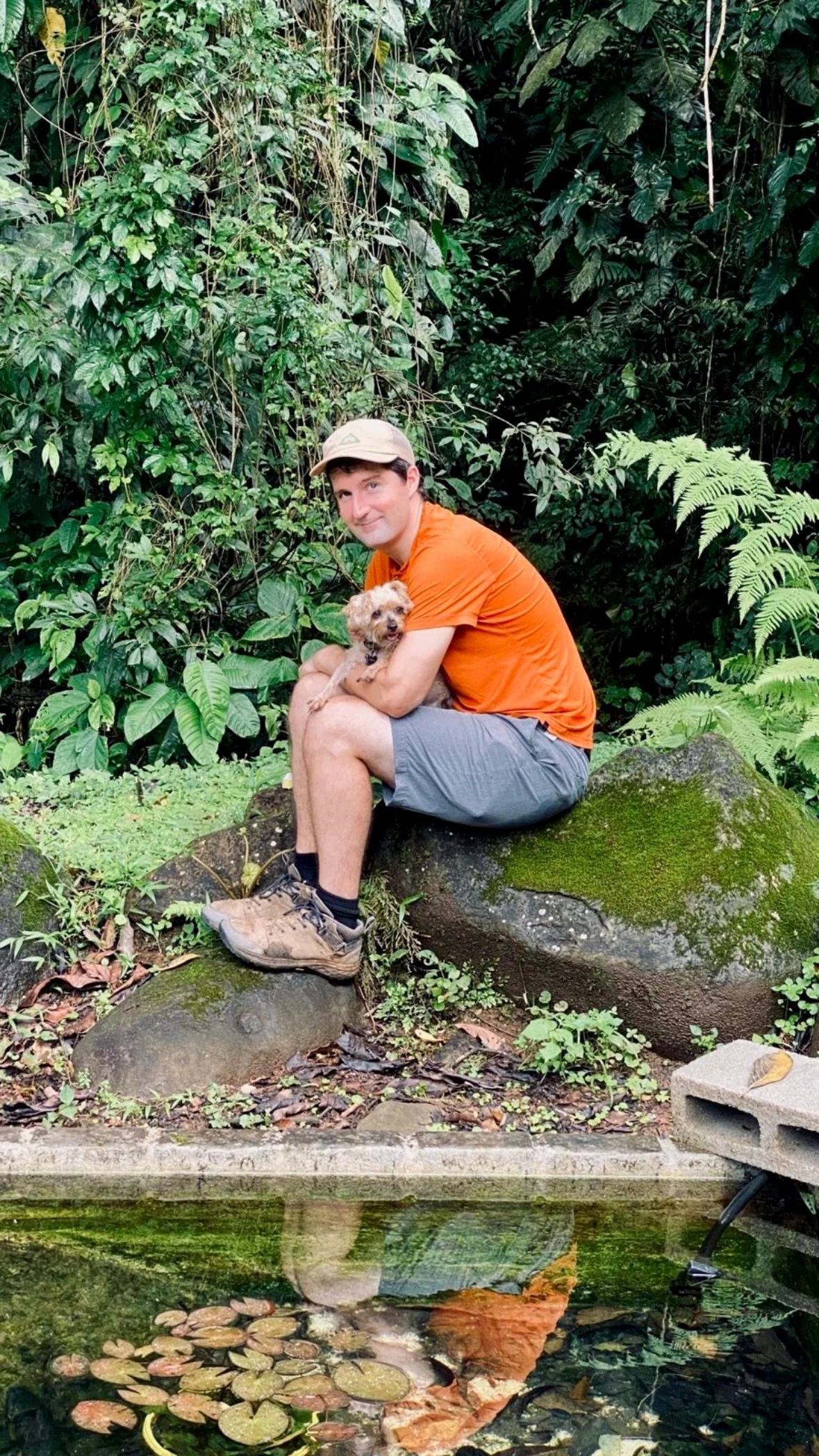
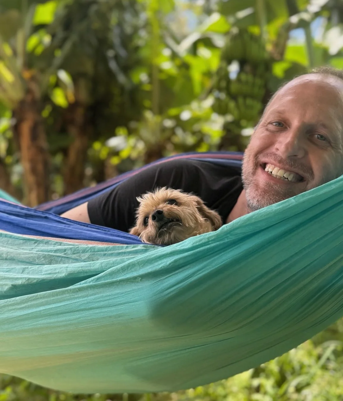
We are Malcolm and Brian, a married couple from Massachusetts, who have been stewarding our small slice of Costa Rican jungle since 2021. Once cattle pasture, the land is now undergoing rapid ecological regeneration — expanding forest, newly planted fruit orchards, and emerging wetland gardens. We're two immigrants five years into our jungle lives, and we're only just getting started.
Get in touch
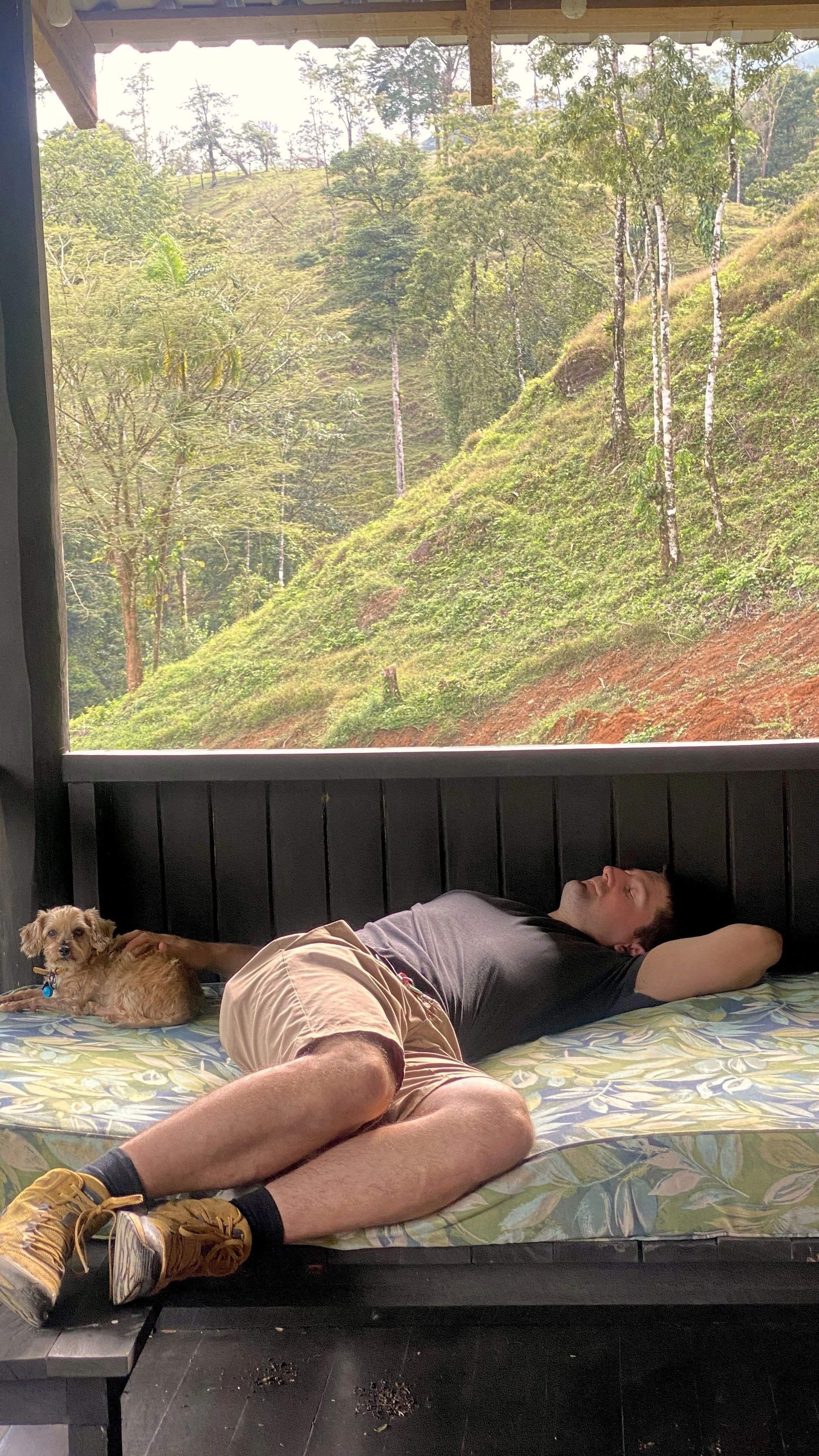
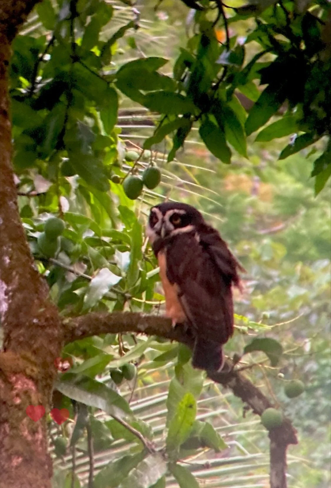
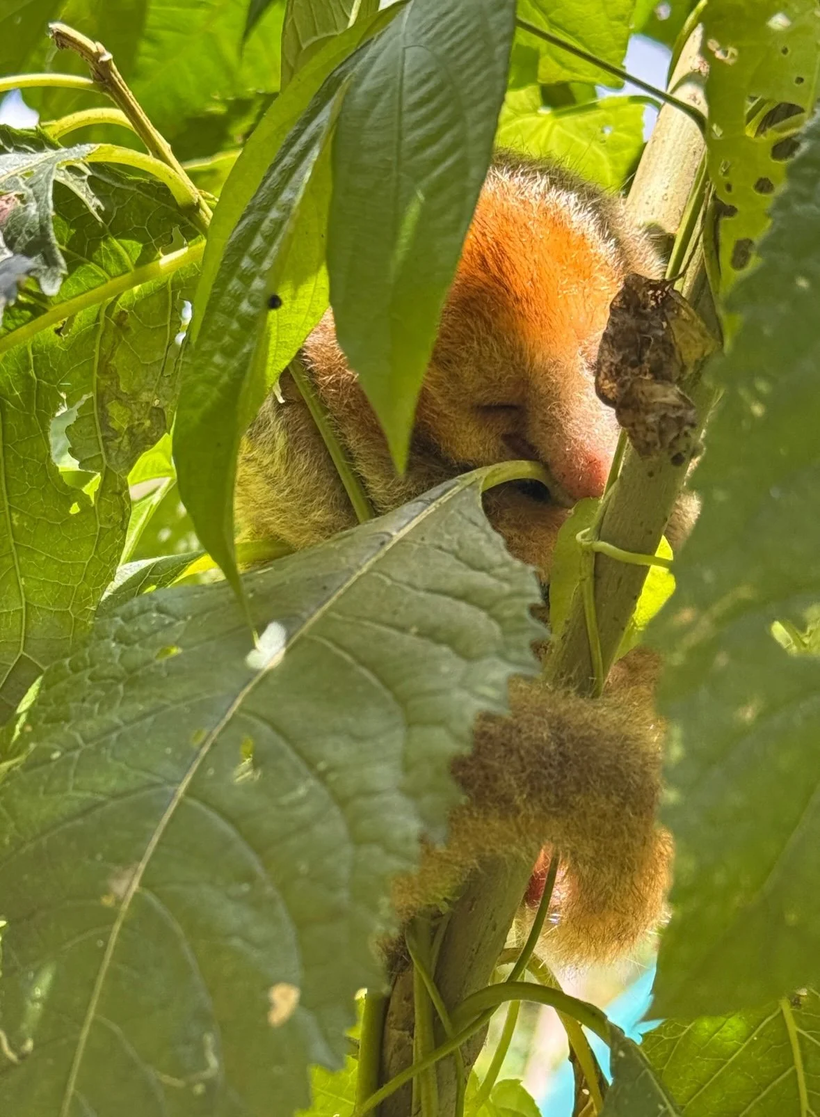
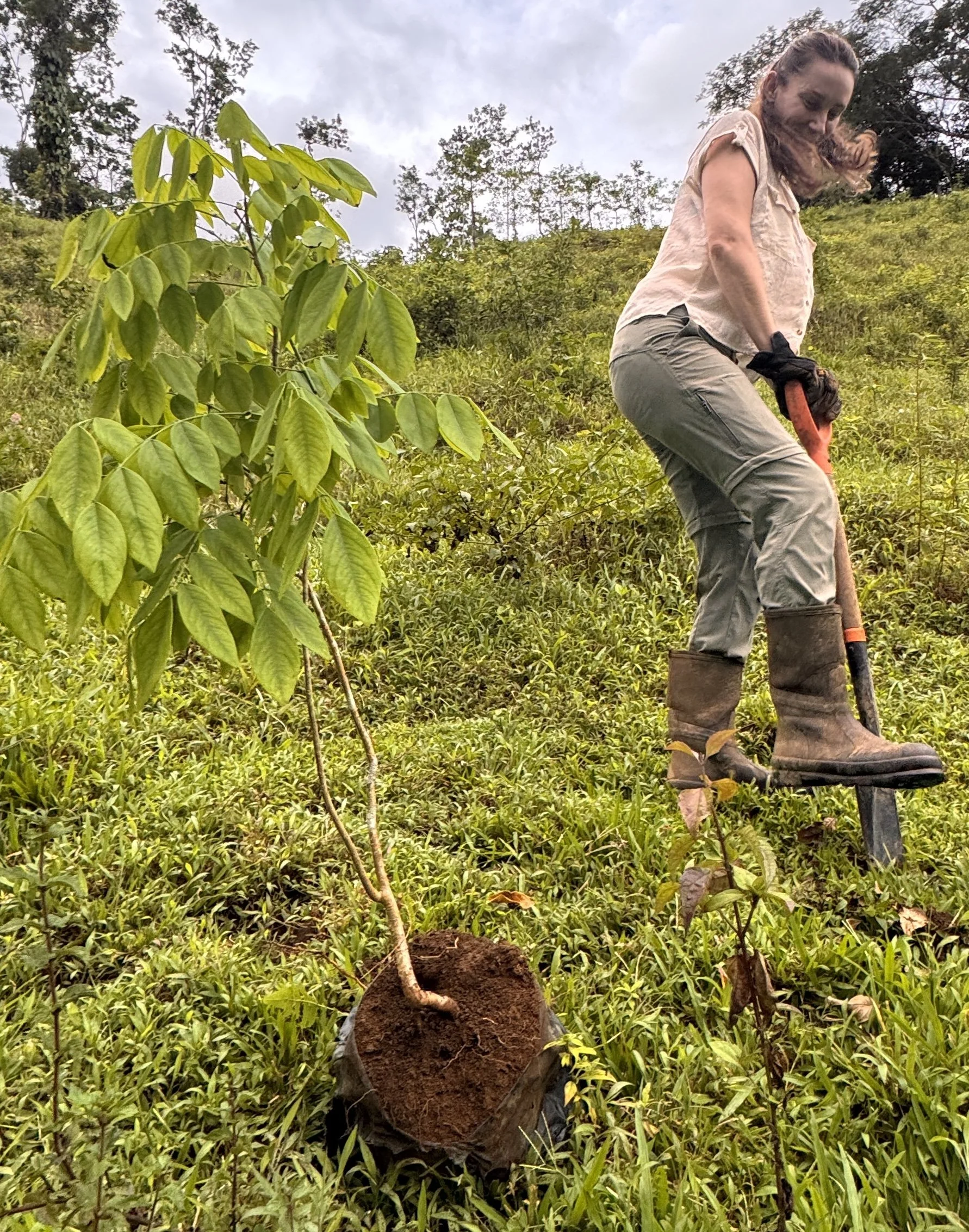
A perhumid slope of Rincón de la Vieja, layered with transitions
Just 55 km south of Lake Nicaragua, Rancho Garza sits at 400–500m on the eastern slope of Rincón de la Vieja — the threshold elevation where the Guatuso Plains Uplands below give way to the lower slopes of the Guanacaste volcanic massif above. It's a real hinge point in the regional geography: the plains below receive roughly 2,000mm of rain a year, while the volcanic flanks that climb upward to the cloud forest receive 5,000mm/year. That transitional position holds culturally too — Guanacaste's cattle country gives way here to campesino pineapple farms on the wetter Caribbean slope. Rancho Garza sits right at that seam.
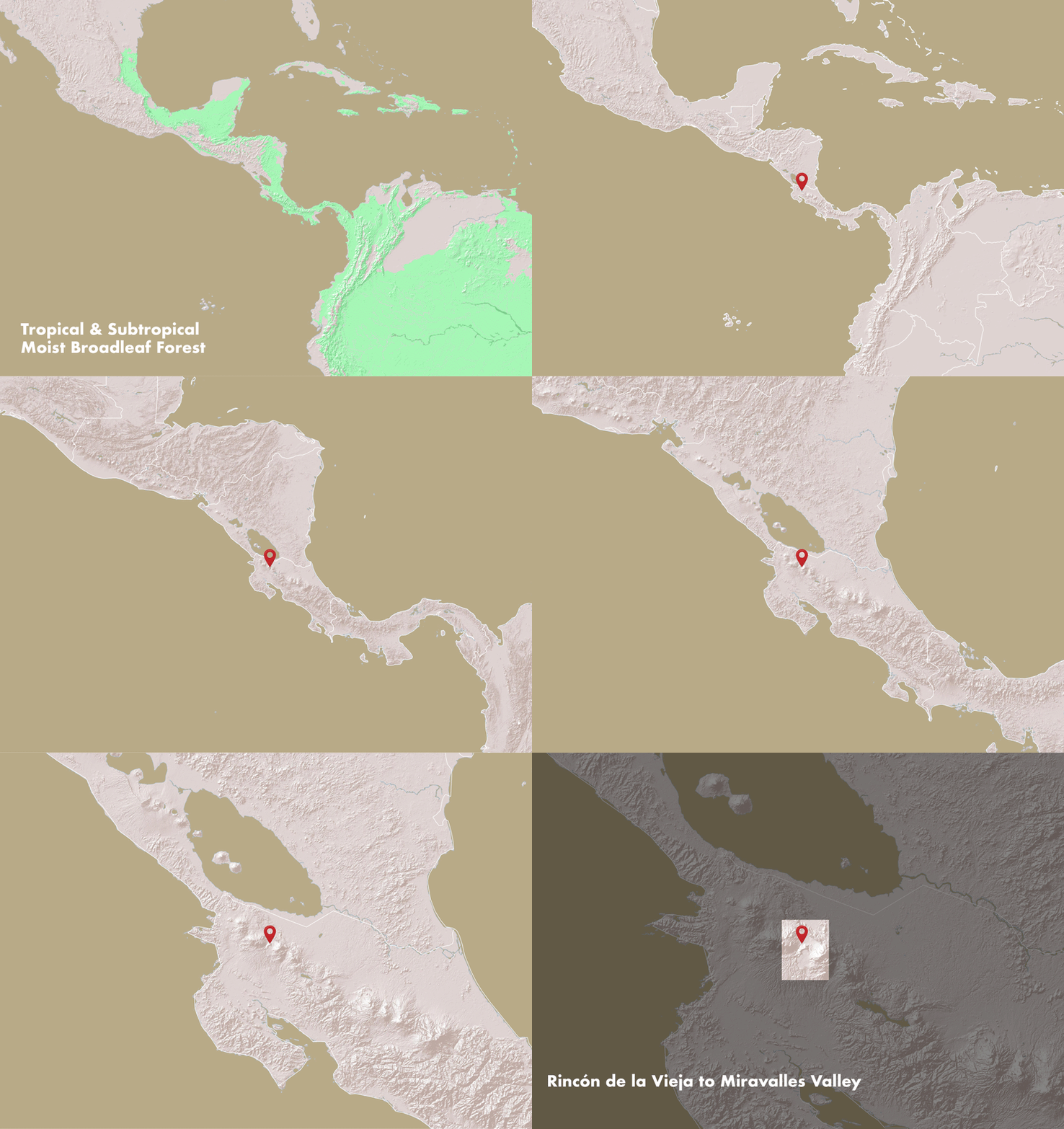
Figure 1. The Tropical & Subtropical Moist Broadleaf Forest biome stretches across the Central American isthmus. On its western Costa Rican edge, a valley between Rincón de la Vieja and Volcán Miravalles crosses the continental divide.
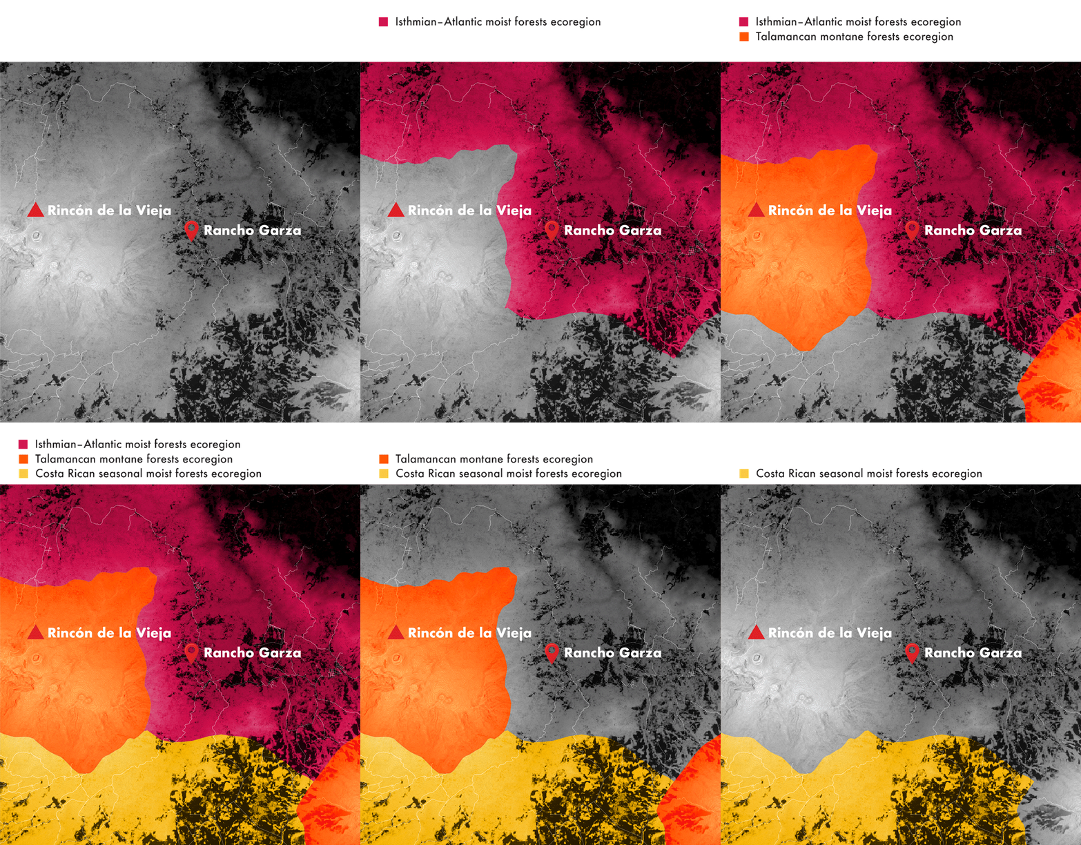
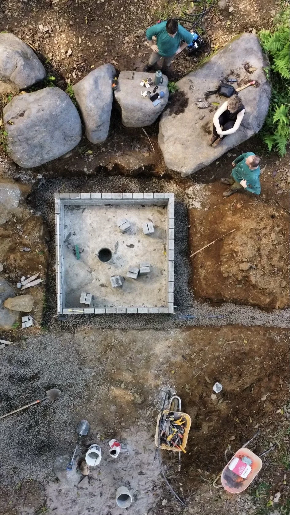
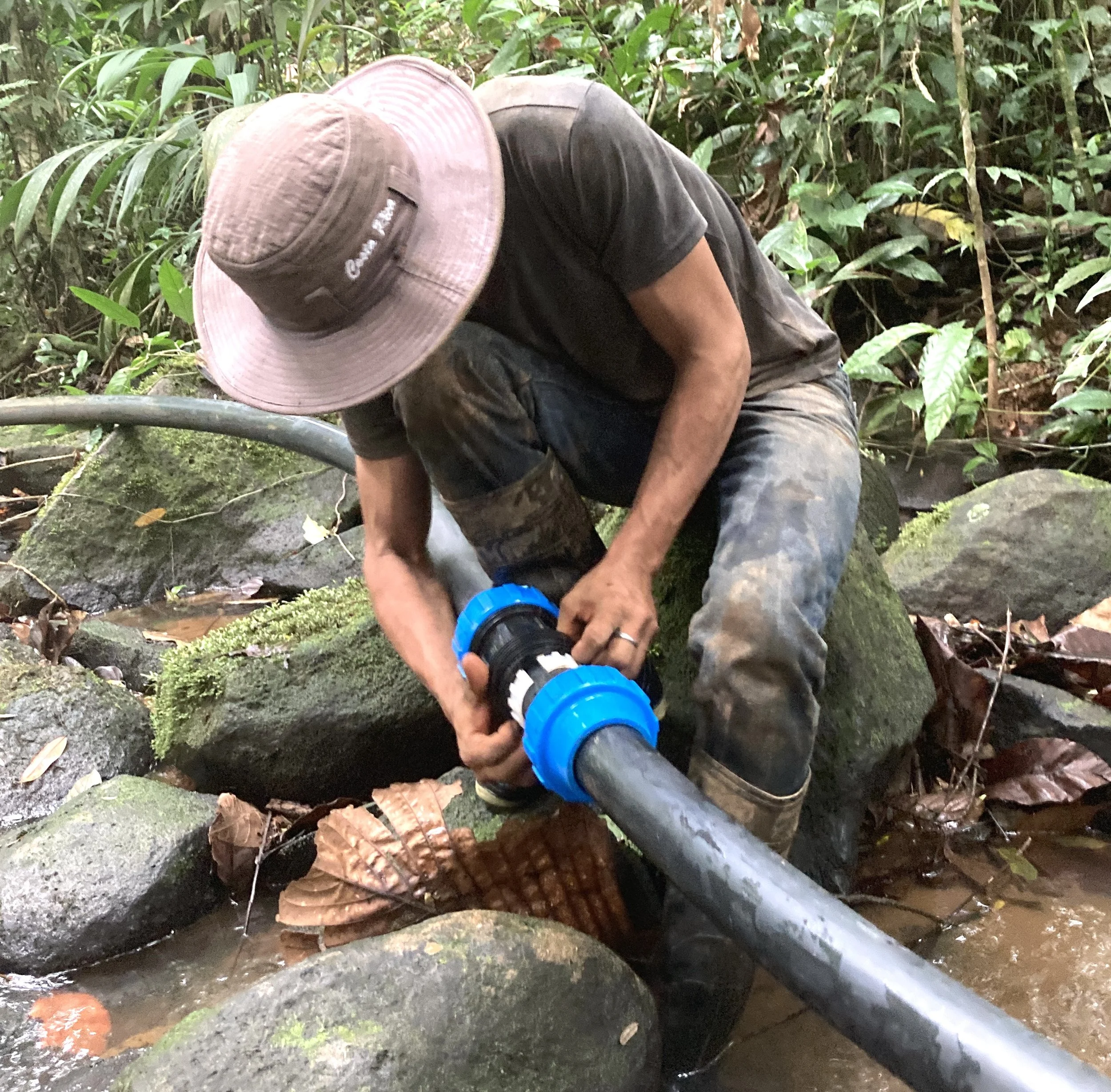
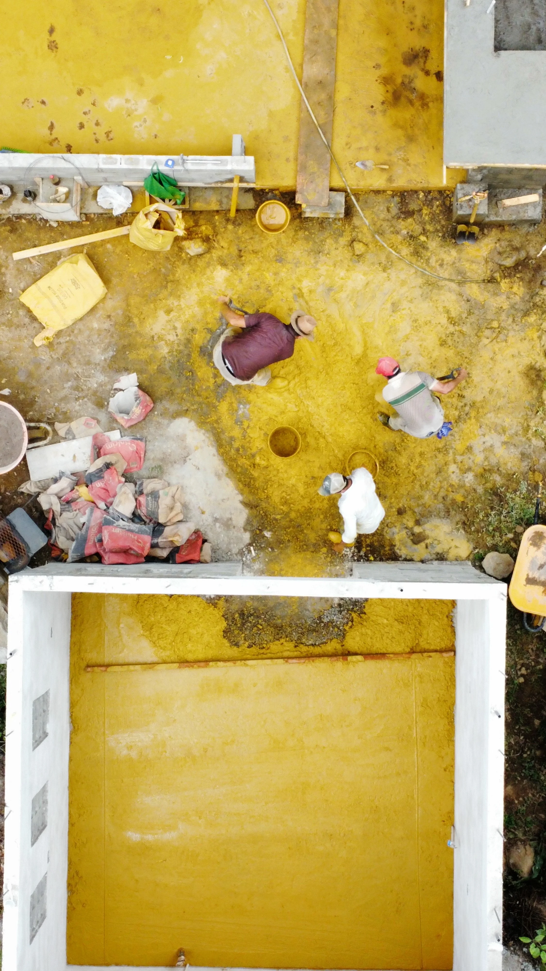
Figure 2, 3, 4. Rancho Garza stands at a meeting point of change — in climate, in land shape, and in forest history all at once. It's where three different forest zones come together. It's also where the land rises from flat lowland plain into the rugged volcanic slopes of the Guanacaste range. And it's where old, untouched forest meets forest that's coming back.
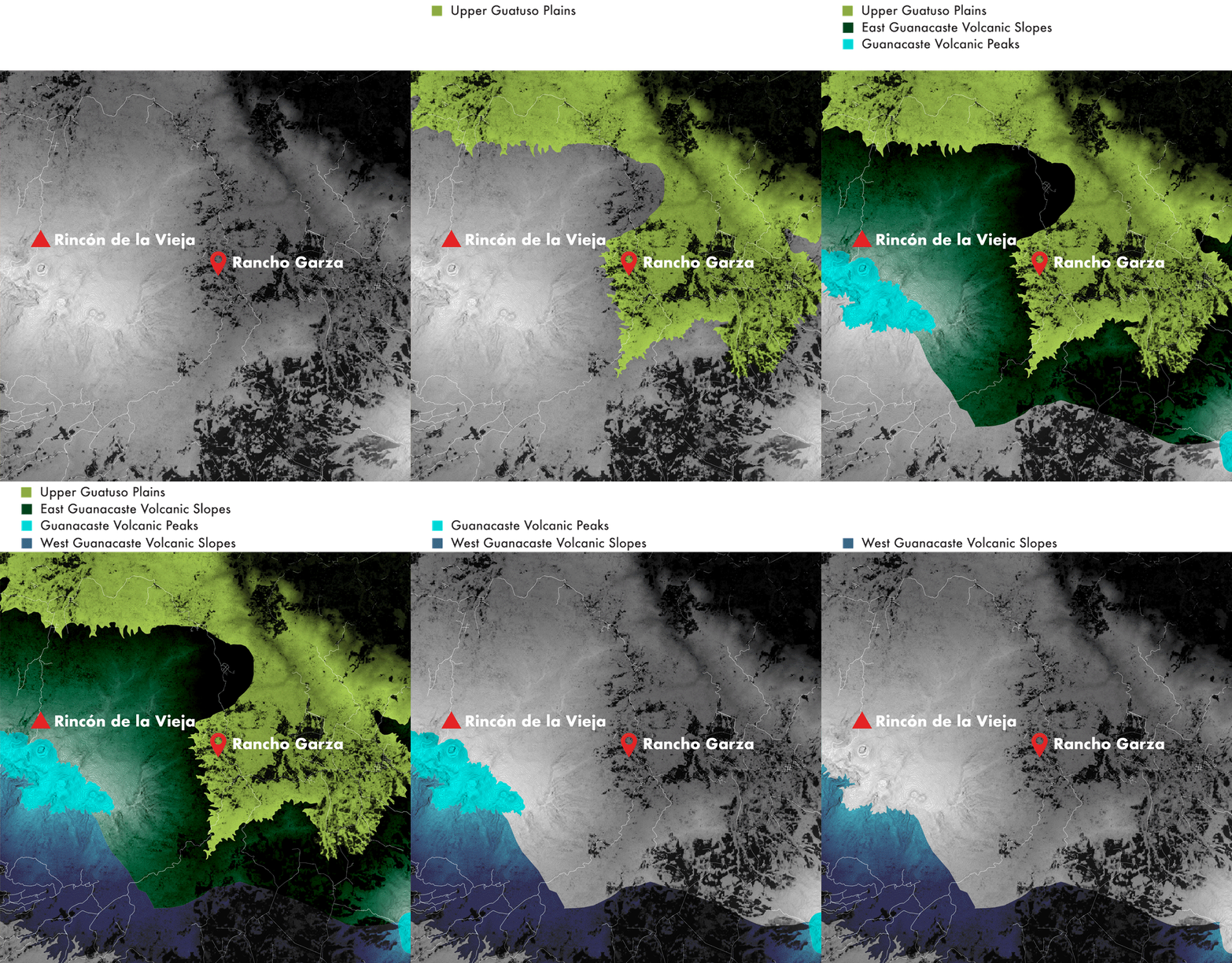
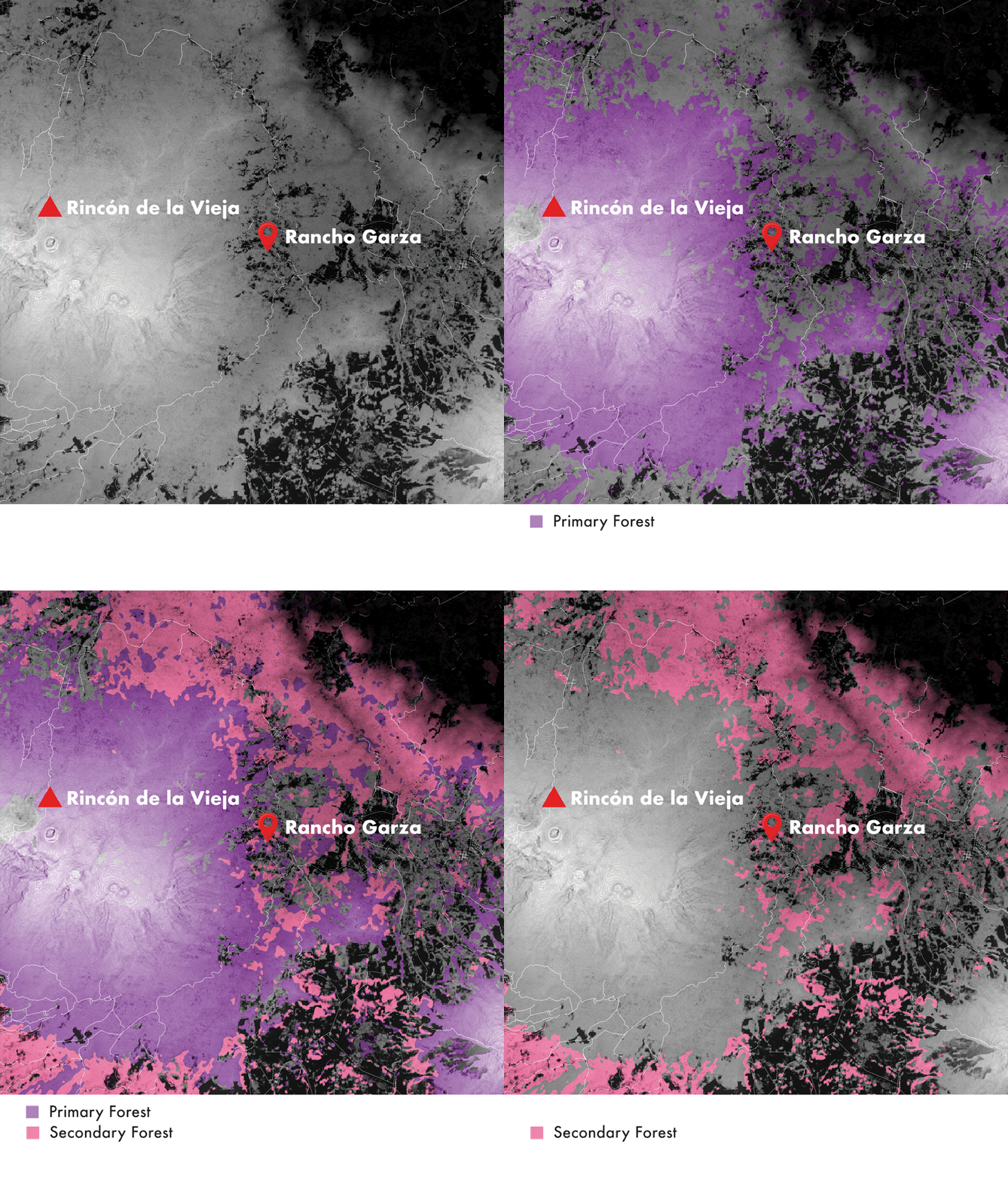
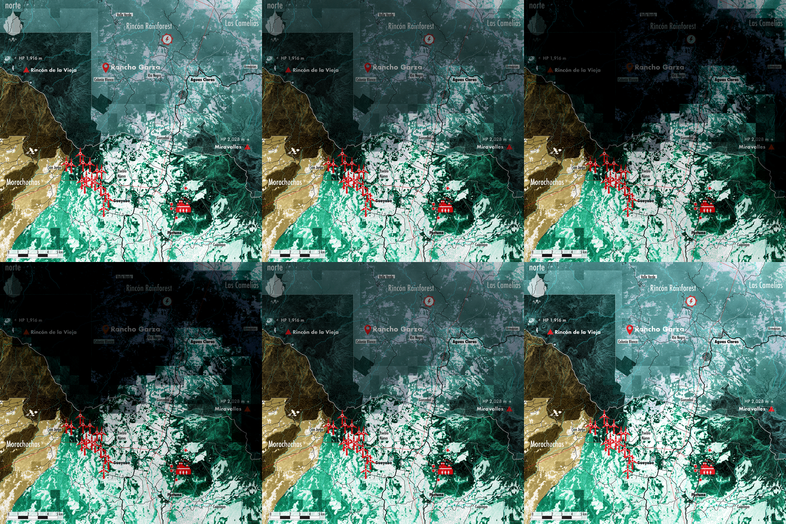
Figure 5. The valley between Rincón de la Vieja and Miravalles is a landscape that interlocks geology with power generation — a corridor of geothermal wells, wind turbines, and hydroelectric sites are strung between Guayabo and La Fortuna. Reaching Aguas Claras in the northern section of the valley, something shifts: the ranching character of the volcanic corridor gives way to the more agricultural, lowland feel of the Upala frontier. This map features a simple animation showing the rain shadow boundary — the precipitation divide that severs the valley between the rainy Caribbean slope and the leeward Pacific foothills.
A humbling comeuppance on fragmented land
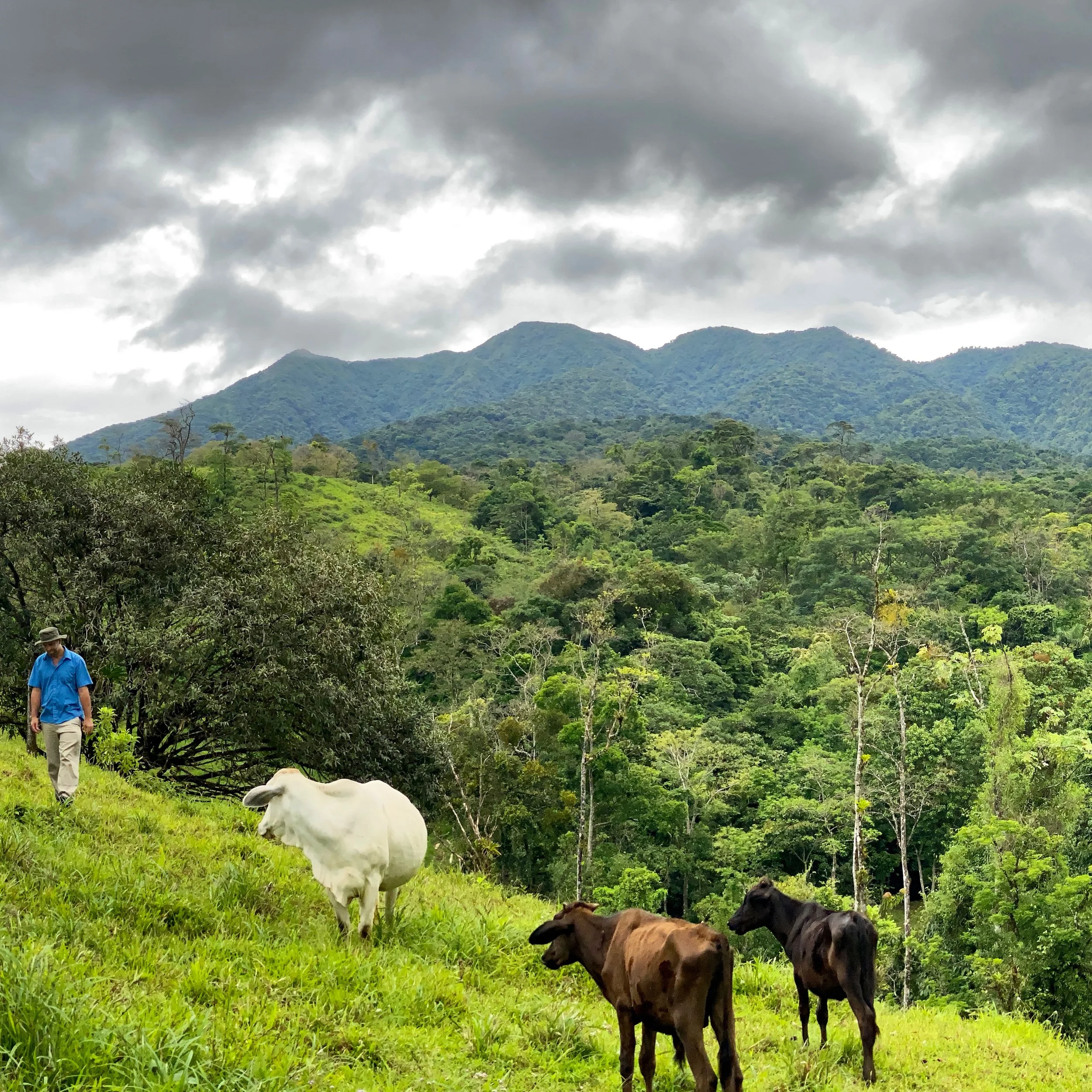
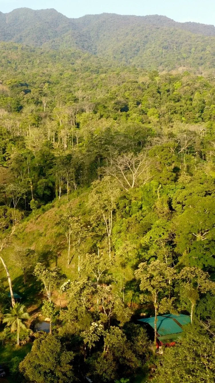
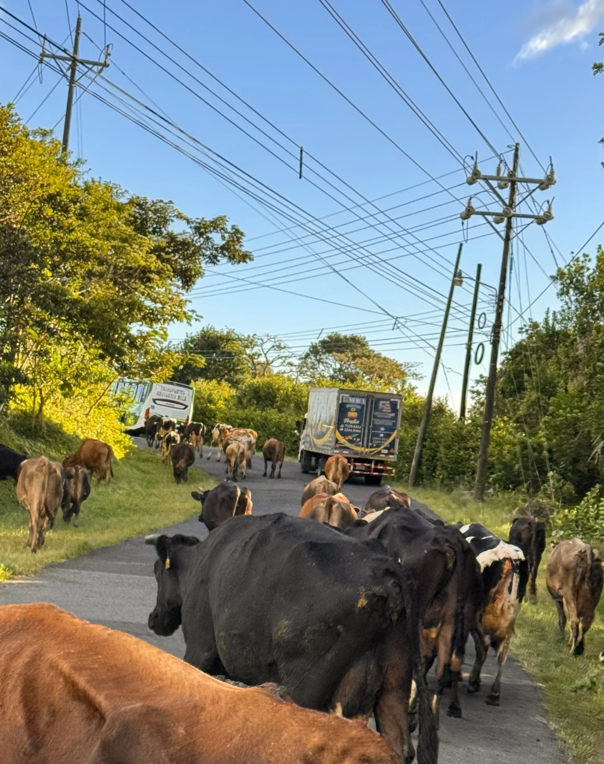
The property is surrounded by a working matrix of remnant forest, agricultural land, and — most detrimentally — cow pasture. Our reforestation focus is anchored in filling in the gaps, so grazing can exist alongside newly planted forest. Besides a few dry weeks in April, the rain never lets up. Invasive vines smother young saplings, borers tunnel into the growing tip of tree species like mahogany and jackfruit and kill them outright, and leaf-cutter ants can strip our favorite cauliflorous fruit trees of leaves in a single night. It turns out planting trees is easy, but growing them takes grit.
Figure 6. An ocelot on the trail camera; a matrix landscape shot by drone; and a cowboy’s POV of corralling cattle.
A commitment to reforestation
We are eager to engage with neighbors, nurseries, and organizations across the neotropics — we're all working toward the same forest. We're actively looking for collaborators and partnerships with anyone approaching smallholder reforestation not just as a planting exercise, but as building the adaptive co-management structures and community institutions that let restoration outlast any single funding cycle or landowner.
Explore our trees