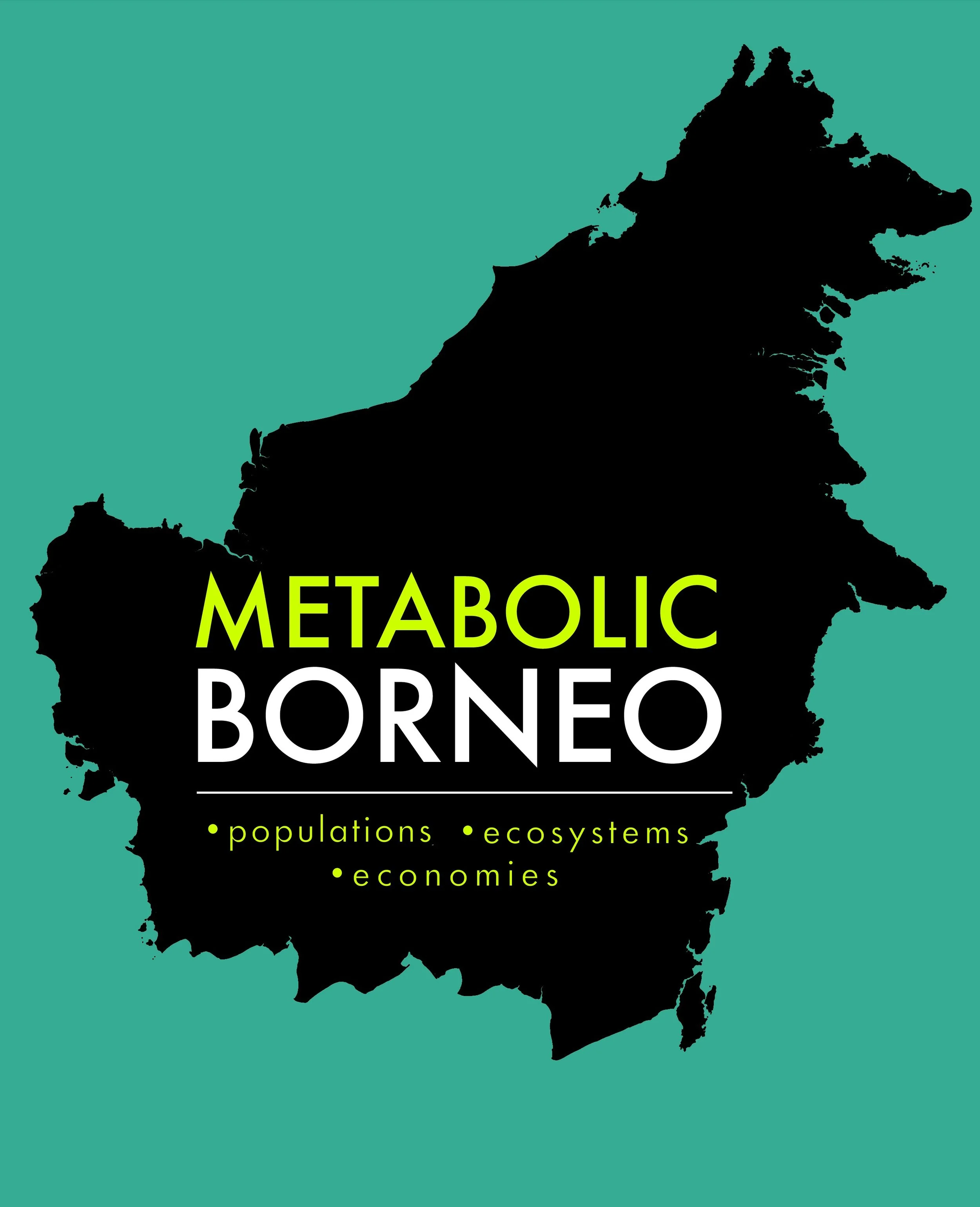
METABOLIC BORNEO, 2025 (15:34)
Written & Mapped by Malcolm Wyer
This short mapping video explores the energy and resource flows that shape one of the world’s most biodiverse regions. Combining hundreds of maps into a geospatial tapestry, Metabolic Borneo traces how societies and ecosystems interact under the pressures of extraction and conservation. The result is a visual meditation on Borneo’s “social-ecological metabolism,” where life, landscape, and economy are inseparably entwined.
BORNEO METABOLIK, 2025 (15:34)
Ditulis & Dipetakan oleh Malcolm Wyer
Video pemetaan singkat ini mengeksplorasi aliran energi dan sumber daya yang membentuk salah satu wilayah dengan keanekaragaman hayati terkaya di dunia. Dengan menggabungkan ratusan peta menjadi sebuah permadani geospasial, Metabolic Borneo menelusuri bagaimana masyarakat dan ekosistem berinteraksi di bawah tekanan ekstraksi dan konservasi. Hasilnya adalah sebuah meditasi visual tentang “metabolisme sosial-ekologis” Kalimantan, di mana kehidupan, lanskap, dan ekonomi saling terkait secara tak terpisahkan.

BIBLIOGRAPHY
—Adrià, Descals, Serge, Wich, Erik, Meijaard, David, Gaveau, Stephen, Peedell, & Zoltan, Szantoi. (2021). High resolution global industrial and smallholder oil palm map for 2019 (Version v1) [Data set]. Zenodo. https://doi.org/10.5281/zenodo.4473715
—ArcGIS Online. (n.d.). Austronesian expansion [GIS dataset]. Retrieved September 1, 2025, from [ArcGIS REST service URL]
—Badan Nasional Penanggulangan Bencana (BNPB). (n.d.). Indeks Bahaya Banjir (Flood Hazard Index) [GIS dataset]. Jakarta, Indonesia: BNPB Data and Information Center. Retrieved [2025].
—Badan Pusat Statistik (BPS). (2020, April 1). Indonesia – Administrative Boundaries – Level 4 (Village) [Data set]. Humanitarian Data Exchange (HDX). Retrieved from https://data.humdata.org/dataset/cod-ab-idn
—Bondarenko M., Kerr D., Sorichetta A., and Tatem, A.J. 2020. Census/projection-disaggregated griddedpopulation datasets for 189 countries in 2020 using Built-Settlement Growth Model (BSGM) outputs. WorldPop, University of Southampton, UK. doi:10.5258/SOTON/WP00684
—Bourgoin, Clement; Verhegghen, Astrid; Carboni, Silvia; Ameztoy, Iban; Ceccherini, Guido; Colditz, Rene; Achard, Frederic (2024): Global map of forest types 2020 - version 0. European Commission, Joint Research Centre (JRC) [Dataset] PID: http://data.europa.eu/89h/037ca376-ba92-49db-a8f7-0c277c1e5436
—Central Intelligence Agency (CIA). (n.d.). World DataBank II: Shipping Routes [Data set]. Public domain. Retrieved from https://www.cia.gov/the-world-factbook/
—CIFOR. (2016). TROP-SUBTROP PeatV2.1: Global tropical and subtropical peatland distribution [GIS dataset]. Center for International Forestry Research (CIFOR). Retrieved September 1, 2025, from https://www.cifor.org/peatlands
—Corbane, Christina; Florczyk, Aneta; Pesaresi, Martino; Politis, Panagiotis; Syrris, Vasileios (2018): GHS built-up grid, derived from Landsat, multitemporal (1975-1990-2000-2014), R2018A. European Commission, Joint Research Centre (JRC) doi: 10.2905/jrc-ghsl-10007 PID: http://data.europa.eu/89h/jrc-ghsl-10007. Accessed through Resource Watch, (2025). www.resourcewatch.org.
—Copernicus Marine Service (2025). Ocean Colour, Multi-sensor L4 Monthly, 4 km — BBP band [Data set]. Copernicus Marine Environment Monitoring Service (CMEMS). File: 20250101-20250131_cmems_obs-oc_glo_bgc-optics_myint_l4-multi-4km_P1M.nc. https://doi.org/10.48670/moi-00281
—Effendi, Hefni, et al. "Ecological Risk Assessment of Heavy Metal Pollution in Surface Sediment of Mahakam Delta, East Kalimantan." Procedia Environmental Sciences, vol. 33, 2016, pp. 574–582. Elsevier, https://doi.org/10.1016/j.proenv.2016.03.110.
—European Commission, Joint Research Centre (JRC). (2023). Global Human Settlement Layer – Built-up and population, 2025 estimates (POPULATIONghs_built_s_e2025_r2023a_54009_100_v1_0_idn) [GIS dataset]. Retrieved September 1, 2025, from https://ghsl.jrc.ec.europa.eu/
—FAO/UNESCO Soil Map of the World. FAO Soils Portal. Food and Agriculture Organization of the United Nations. https://www.fao.org/soils-portal/data-hub/soil-maps-and-databases/faounesco-soil-map-of-the-world/en/
—GEBCO Compilation Group (2023). The GEBCO_2023 Grid – a continuous terrain model of the global oceans and land. NCEI Accession 0278444. NOAA National Centers for Environmental Information. doi:10.25921/x0p1-gf61.
—Giri, C., Ochieng, E., Tieszen, L. L., Zhu, Z., Singh, A., Loveland, T., Masek, J., & Duke, N. (2013). Global Mangrove Forests Distribution, 2000 (Version 1.00) [Data set]. Palisades, NY: NASA Socioeconomic Data and Applications Center (SEDAC). https://doi.org/10.7927/H4J67DW8
—Global Forest Watch (GFW) Kawasan hutan Indonesia / Indonesia Forest Area. https://data.globalforestwatch.org/datasets/1dd7ef31c3924d7cbcf918bd97a7f985/about
—Global Mangrove Watch. (2020). Global Mangrove Watch v3, 2020 (vector GIS dataset). Retrieved September 1, 2025, from https://www.globalmangrovewatch.org/
—Halpern, Benjamin, Melanie Frazier, John Potapenko, Kenneth Casey, Kellee Koenig, Catherine Longo, Julia Lowndes, Cotton Rockwood, Elizabeth Selig, Kimberly Selkoe, & Shaun Walbridge. (2015). Cumulative human impacts: Supplementary data. Knowledge Network for Biocomplexity. doi:10.5063/F19Z92TW.
—Hansen, M. C., P. V. Potapov, R. Moore, M. Hancher, S. A. Turubanova, A. Tyukavina, D. Thau, S. V. Stehman, S. J. Goetz, T. R. Loveland, A. Kommareddy, A. Egorov, L. Chini, C. O. Justice, and J. R. G. Townshend. 2013. High-Resolution Global Maps of 21st-Century Forest Cover Change. Science 342 (15 November): 850-53. Data available on-line from: https://glad.earthengine.app/view/global-forest-change.
—HOTOSM. (Year). Brunei Roads – Lines [Shapefile]. Humanitarian OpenStreetMap Team. Retrieved from https://www.hotosm.org
—Hulthen, Andy; & Waha, Katharina (2022): Indonesian Hybrid Landcover 2020 - GeoTIFF. v4. CSIRO. Data Collection. https://doi.org/10.25919/8624-rg56
—Humanitarian OpenStreetMap Team (HOTOSM). (2025). Malaysia roads (hotosm_mys_roads_lines_shp) [Data set]. Humanitarian Data Exchange (HDX). https://data.humdata.org/organization/hotosm
—The IFL Mapping Team. “Intact Forest Landscapes 2000/2013/2016/2020” Available at www.intactforests.org
—IUCN <2025>. The IUCN Red List of Threatened Species. <Red List version>. https://www.iucnredlist.org. Downloaded on August 2025.
—Joint Research Centre (JRC). (2020). Global Forest Type 2020 (GFT2020) [Raster GIS dataset]. European Commission. Retrieved September 1, 2025, from https://data.jrc.ec.europa.eu/dataset/jrc-gft
—Kementerian Lingkungan Hidup dan Kehutanan (KLHK). (2017). Kawasan Hutan Indonesia (September 2017) [Data set]. Jakarta, Indonesia: KLHK. Retrieved from http://geoportal.menlhk.go.id/
—Martinez-Alier, J., Temper, L., Del Bene, D., & Scheidel, A. (Eds.). (n.d.). Environmental Justice Atlas. Retrieved [August, 2025], from https://ejatlas.org
—Miettinen, J., Shi, C. & Liew, S. C. Land cover distribution in the peatlands of Peninsular Malaysia, Sumatra and Borneo in 2015 with changes since 1990. Global Ecological Conservation. 6, 67– 78 (2016). https://www.sciencedirect.com/science/article/pii/S2351989415300470
—Ministry of Energy and Mineral Resources (ESDM) of the Republic of Indonesia. (n.d.). East Kalimantan coal mining concessions (Update, UTM Zone 50N) [GIS dataset]. Jakarta, Indonesia. Retrieved [2025].
—Ministry of Forestry, Center for Forest and Nature Conservation Research and Development. Growing Stock, Distribution, and Conservation of Ramin in Indonesia, Technical Report No. 1. ITTO Pre-Project PPD 87/03 Rev. 2 (2005.)
—NASA Earth Observing System Data and Information System (EOSDIS). (n.d.). MODIS Active Fire and Burned Area data – Indonesia fire history [GIS dataset]. Retrieved September 1, 2025, from https://earthdata.nasa.gov/
—NASA GES DISC. (n.d.). Giovanni: A web-based application for the visualization and analysis of Earth science data [Data portal]. NASA Goddard Earth Sciences Data and Information Services Center (GES DISC). Retrieved September 3, 2025, from https://giovanni.gsfc.nasa.gov/giovanni/
—Olson, D. M., Dinerstein, E., Wikramanayake, E. D., Burgess, N. D., Powell, G. V. N., Underwood, E. C., … & Kassem, K. R. (2001). Terrestrial ecoregions of the world: A new map of life on Earth [GIS dataset]. BioScience, 51(11), 933–938. Retrieved September 1, 2025, from https://www.worldwildlife.org/publications/terrestrial-ecoregions-of-the-world
—Padilla, A.J., Buteyn, S.D., Neustaedter, E.R., Otarod, D., Wolfe, E.R., Freeman, P.A., Trippi, M.H., Kemna, R.F., Trimmer, L.M., Renaud, K., Szczesniak, P.A., Moon, J.W., Chung, J., Dicken, C.L., and Hammarstrom, J.M., 2022, Compilation of Geospatial Data (GIS) for the Mineral Industries and Related Infrastructure of Select Countries in Southwest Asia: U.S. Geological Survey data release, https://doi.org/10.5066/P9OCRYYO.
—Potapov, P., Turubanova, S., Hansen, M., & Tyukavina, A. (2020). Intact Forest Landscapes (IFL) 2020 [GIS dataset]. Global Forest Watch / World Resources Institute. Retrieved September 1, 2025, from https://www.globalforestwatch.org/
—Roundtable on Sustainable Palm Oil (RSPO). (2021). RSPO certified palm oil mills [GIS dataset]. Retrieved September 1, 2025, from https://rspo.org/certification/gis-maps
—Satu Data Indonesia, Indeks Bahaya Banjir. https://data.go.id/dataset/dataset/indeks-bahaya-banjir
—UNEP/GRID-Arendal. (n.d.). Global mineral operations facilities dataset (MinFac) [GIS dataset]. Retrieved [date], from https://www.unepgrid.ch/
—van Donkelaar, A., M. S. Hammer, L. Bindle, M. Brauer, J. R. Brook, M. J. Garay, N. C. Hsu, O. V. Kalashnikova, R. A. Kahn, C. Lee, R. C. Levy, A. Lyapustin, A. M. Sayer and R. V. Martin (2023). Global Annual PM2.5 Grids from MODIS, MISR and SeaWiFS Aerosol Optical Depth (AOD), (1998-2021), V5.GL.03 (Preliminary Release). Palisades, NY: NASA Socioeconomic Data and Applications Center (SEDAC). https://doi.org/10.7927/bz7m-wq98. Accessed 3 September 2025.
—Vieilledent, G., Bastin, J.-F., Gasser, P., & Malhi, Y. (2018). Global Mining Areas v1, 5-arcminute resolution [Raster GIS dataset]. NASA Socioeconomic Data and Applications Center (SEDAC). Retrieved September 1, 2025, from https://sedac.ciesin.columbia.edu/data/collection/mining-global
—WorldPop. (2020). Indonesia 2020 population (constrained) [Raster GIS dataset]. University of Southampton. Retrieved September 1, 2025, from https://www.worldpop.org/
—Yu, Z., Beilman, D. W., & Jones, M. C. (2010). Global peatland map v2 [GIS dataset]. Boulder, CO: National Snow and Ice Data Center (NSIDC). Retrieved September 1, 2025, from https://nsidc.org/data/gpd